Doorwerth
A small settlement in between a National Park and a River
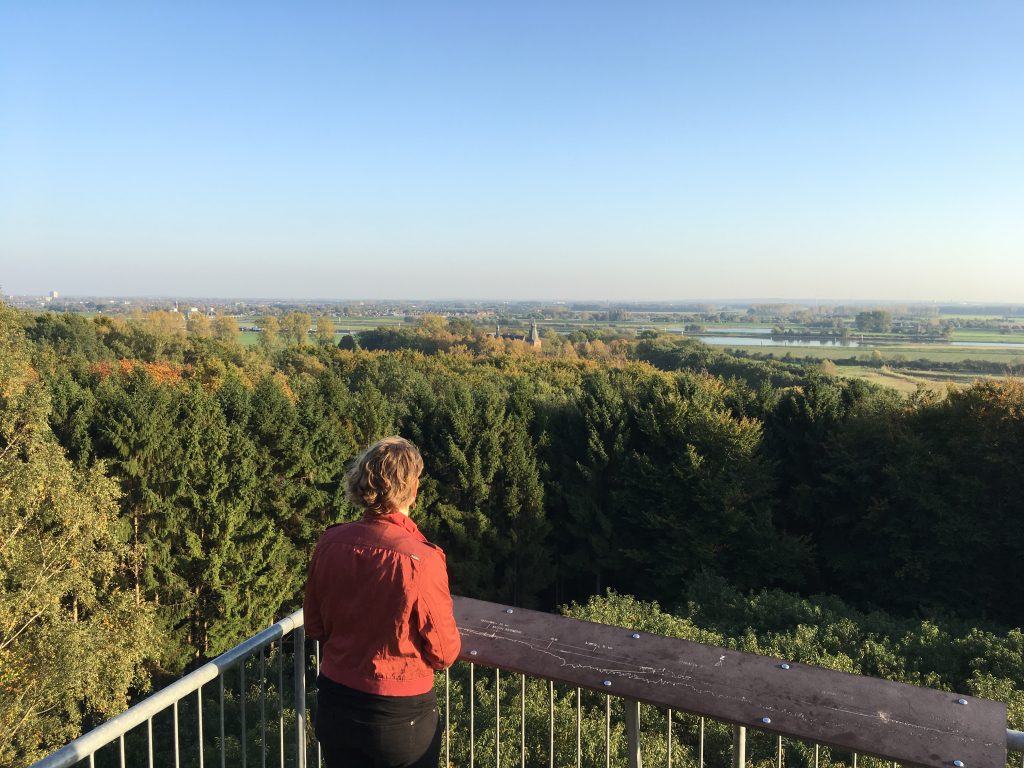
From a lookout post on the “stuwwal” (hills) of Doorwerth you can look down on the river nederrijn and Castle Doorwerth.
Unseen Dutch Scenery
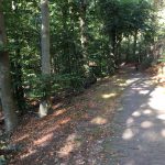
Doorwerth is a small village located at the southern edge of the Veluwe, characterised by the castle at the Rhine sharing its name, originally built to toll passing ships. The region of Doorwerth and its many paths is an ideal surrounding for nature lovers, bikers and hikers. The village is located on the moraines near Arnhem, largely surrounded by forests. This hilly forest landscape gives a foreign feeling compared to the flat and empty Netherlands and offers gorgeous sights. Baron van Brakell thought it to look like Italy so much that he named the at the time newly paved road after it; the Italiaanseweg.
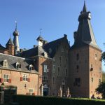
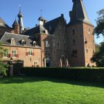
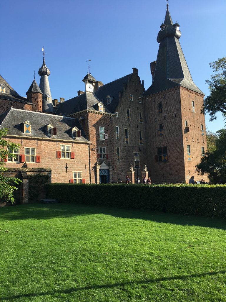
Castle Doorwerth
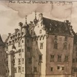
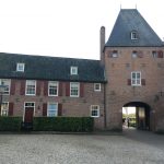
Castle Doorwerth had humble beginnings, starting out as a mere wooden structure which was quickly burnt down in a siege. After this a stone living tower of 10 by 15 metres was built, which is now a part of the east wing. This is how the Castle truly got started, being expanded upon by its owners over the following centuries until its destruction in the second world war, after which the castle was renovated. Currently the structure offers a restaurant, museum and even the possibility to spend the night.
Age-old Attraction
In the past few centuries, Doorwerth and several surrounding villages have been an attraction for rich citizens from the conurbation of Holland. Several examples of this are the estates Duno, Westerbouwing, Bato’s wijk and Hartenstein. Through the years, these have housed many owners, all coming to enjoy nature and peace.
Between the 14th and 18th centuries, Heerlijkheid Doorwerth was an independent village with an own judiciary. After this though, these rights collapsed under the French occupation and Doorwerth was merged with surrounding villages Oosterbeek and Renkum. In 1815, the old rights were restored by the Rijk of Verenigde Nederlanden and reshaped to be a single municipality. This municipality existed until 1923, after which it was merged once more with Oosterbeek and Renkum.
Tourism
From the 19th century the village and surrounding nature is a tourist attraction, despite being a small village, it offers a good welcome.
Walking Routes
Doorwerth and its surroundings offer a great place to engulf oneself in nature’s beauty, the blooming plains to the North and the vibrant forests all around provide the region with a perfect place to take walks of any distance. Once a year, in September, the region hosts the Airborne walking tour as a memorial to the fallen soldiers of the failed operation Market Garden. Monuments serving as a memory to this event are dotted all around the region and are a sight to see for any passerby. Other more notable walking routes include, but are not limited to: the Hevearoute, the Westerbouwingroute and the Nature’s trail High & Low.
All walking routes
Hotels and B&B’s
From the 19th century, the village and surroundings were an attraction and offered a warm welcome despite the small size.
Hotels
The Fletcher Hotel-Restaurant in Kievitsdel.
Staying the night in the gate building of castle Doorwerth.
B&B’s
Several bed and breakfasts offer their services in the village.
Restaurants
A variety of restaurants are located both in Doorwerth and in the castle. View all restaurants in Doorwerth
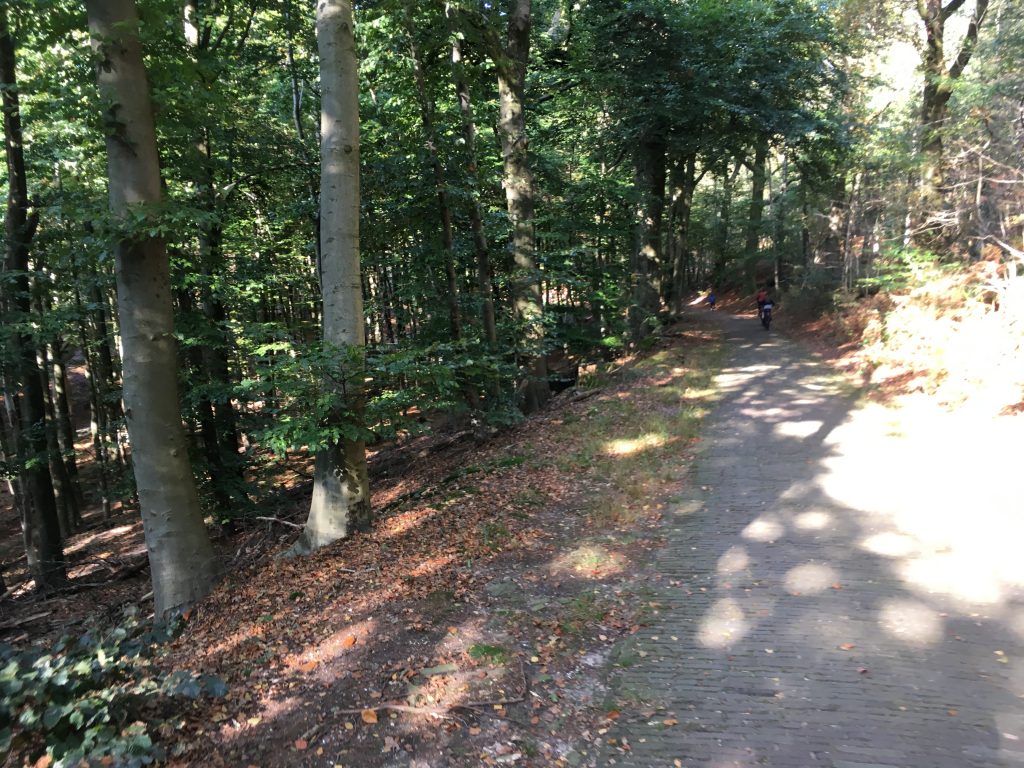
Doorwerth moraines arround Castle Doorwerth
Museums
Castle Doorwerth
The majority of the castle today houses a museum, but also offers a restaurant, possibility to stay the night and occasionally hosts special events on the castle and surrounding terrain.
Inside the castle itself are, for example, the “Oogstfeest”, Harvest festival, the “Ridderproef”, Knight tests, and meetings with so called previous inhabitants of the castle.
read more about the history of the castle
Hunting museum
Along with the activities there is a hunting museum, which gives a look at the life in the castle and surroundings through the ages. read more about the Jacht Museum
Museum Veluwezoom
Museum the Veluwezoom offers exposition about several art streams that have brought the castle and environment into picture.
read more about Museum Veluwezoom
The Village
For ages the only thing standing was but a hamlet of a couple houses bordering the Fonteinallee. The majority of these were destroyed in the second world war and rebuilt shortly thereafter, this time on a higher elevation on top of the nearby moraine instead of at its base. The more modern regions of the village were built with the intention of preserving the feeling of living within the woods.
Present
The village centre has settled near the van der Molenallee and the Mozartlaan. With two grocery stores, a pharmacy, multiple restaurants, a drug store and a tank station the centre offers all the village needs. For more complex needs, you can make a trip to the nearest city of Arnhem in 30 minutes by bike or only 15 by car. Read more about the current village
The History
The first inhabitants of the region had settled themselves on one of the highest elevations available, relative to the country at least. This is now known as the Duno plateau. From this strategic location, the region’s inhabitants were able to find refuge when necessary. At a later time, a wooden tower was constructed along the river to collect tolls; these were the very beginnings of the castle.
Some writings mention the tower having been besieged in the year 1260 by the Lord of Vianen, resulting in its destruction. After that a 10 by 15 metre stone tower was built in its place by a man known as Hendric of Doornweerd, this stone tower is currently part of the modern east wing. As the years went by, the tower was expanded upon by its many owners, though eventually facing destruction once again in 1944. After this followed a massive 37 year renovation, resulting in the castle turning into a major landmark for tourism in the region.
Estates
Duno
The Duno Estate was owned and used by rich civilians of the Netherlands for a long time, the manor having been built in 1794 under orders of the director of Heerlickheijd Doorwerth at the time. The building served as a refuge for soldiers serving in WWII attempting operation market garden. This, however, resulted in its destruction by a presumed German artillery strike targeting the Allied Paratroopers.
The only modern remnant of the building is a layout of the floor plan of the ground floor and now serves as a grim reminder of the war that ravaged across Europe and Asia, admired by passing tourists and participants of the yearly Airborne Walking Tour.
Westerbouwing
The Westerbouwing is an Estate looking over the lower Rhine and the regions beyond, consisting mostly of forest and having contained a pavilion since 1887. This pavilion now features a lovely terrace on which one can fully enjoy the view of the region. The pavilion also allows hosting of events such as weddings and the like. There are also two large streaks of grass nearby, making a great place for picnics.
The Village
The region of Doorwerth was founded around 1260, when the first parts of the current castle Doorwerth were built. Although the area had already been sparsely populated since the age of hunters & gatherers, as can be seen by the burial mounds located in the area. The current Doorwerth is a village consisting of around 7000 inhabitants, living in either the large apartment complexes, low rise terraced house clusters or normal terraced housing. History of the village
Origin of the Name
The name Dorenwerth or Doornweerd tells the story of the environment. “Doorn,” meaning water or forest, and “Weerd,” meaning place. In the ice age, the moraine was formed by massive sheets of ice moving around and pushing up the area. When temperatures rose, the ice melted and the water eroded what would become valleys.
During the ages, there have been many ways to spell Doorwerth, such as Doorenwerth, Doirenwerdth, Doirenwerdt, Doerenwerde and Dorenwaard. When the Verenigde Nederlandse Koninkrijk took the village to its territory in 1817, it was registered as Doorwerth. The “h” was added because the at the time Lord of Doorwerth, named Bentick, came from England and so followed the English spelling. The older spelling of the name can still be found in the local secondary school: the Dorenweerd.
The village centre
Around the van der Molenallee and the Mozartlaan the current small center is located.
With two supermarkets, several restaurants, a gas station and a pharmacy, it has the basics. For the extended wishes, the city center of Arnhem offers everything that is needed. In 25 minutes biking or 15 minutes by car, everything that the heart can desire is affordable.
Accessability
By car
From highway A50 exit Oosterbeek.
By public transport from Arnhem:
From Arnhem central, the buses 352 and 51 drive through and along Doorwerth every 15 minutes.
Facts and statistics
location
Municipality: Renkum
Province: Gelderland
Inhabitants: approx. 7000 (2020)

