Nederrijnsepad
Short Description
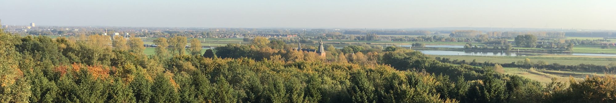
Discover the Nederrijn River from the dikes between Lexkesveer and Driel. This path takes you through the municipalities of Renkum, Wageningen, and Overbetuwe.
Details
- Length: 27 km
- Surroundings: Dikes and floodplains
- Paths: Unpaved and paved
- Starting Point: Heteren, Dorpsstraat 5, Manage de Fruithof
- Parking: Free
Instructions
Follow the purple markers in the shape of a wooden shoe. The route is marked in both directions.
You can shorten the route to:
- 19 km by taking the Renkum Ferry
- 9 km by taking the Renkum Ferry and the A50 bridge
- 17 km by taking the Lexkesveer and the A50
Download the pdf .
More information: klompenpaden.nl.